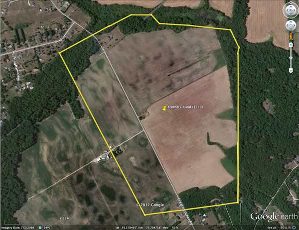
Gossett Land on Blackbird Creek (based on 1739/40 survey)
The 1739/40 warrant for survey described the land that William and Jacob Gossett inherited from their father, John, in these terms: "...One hundred and thirty Acres of Land scituate on the South side of one of the most Northerly Branches of Blackbirds Creek in the Forest of Apoquiminick Hundred..." The description in the survey request (130 acres on the south side of a northerly branch of Blackbirds Creek) is at odds with the survey plat itself (generated some days later, based upon the new survey). The plat lists the tract's area as "approximately 207 acres" and shows its northern boundary to be a creek labeled "up Gilpins run a Branch of Blackbirds Creek," and there are lands of other owners bordering the other three sides of the tract. [Note that modern maps refer to the creek as "Blackbird," not "Blackbirds," and that early spellings of Appoquinimink were quite variable.] Apparently John Gossett's tract of land was considerably larger than it was thought to be prior to the survey.
Our attempts to locate the site of the Gossett land ("Brothers' Land") described in the 1739/40 survey were thwarted by our inability to locate a branch of Blackbird Creek known as "Gilpins Run." Pamela Cawood, a New Castle County researcher who happened upon our website, was able to provide us with the location of "Gilpins Run," a designation that does not appear on modern maps; it is now known as the "Barlow Branch" of Blackbird Creek. We then were able to superimpose a scaled drawing of the 1739/40 plat on modern maps of the area, and thereby identify the location of 1739/40 survey with high confidence. We confirmed our conclusion by examining land-transfer deeds related to this parcel, including some that mentioned old features and markers noted on the 1739/40 plat. As if to underscore Pam's identification of "Barlow Branch" as old "Gilpins Run," a visit by one of us (James Michael Gossett) to the site produced this image of a sign on the very parcel that was once Gossett land! "I had to laugh when I saw this. After all the trouble we had locating 'Gilpins Run,' there it was, marked with a large sign!"
For other images from James' (October 2012) visit to New Castle and the 1739/40 Gossett land, click here.
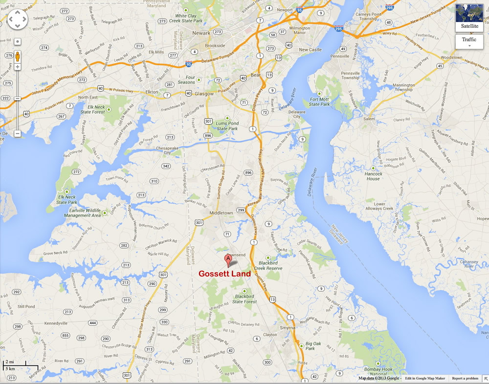
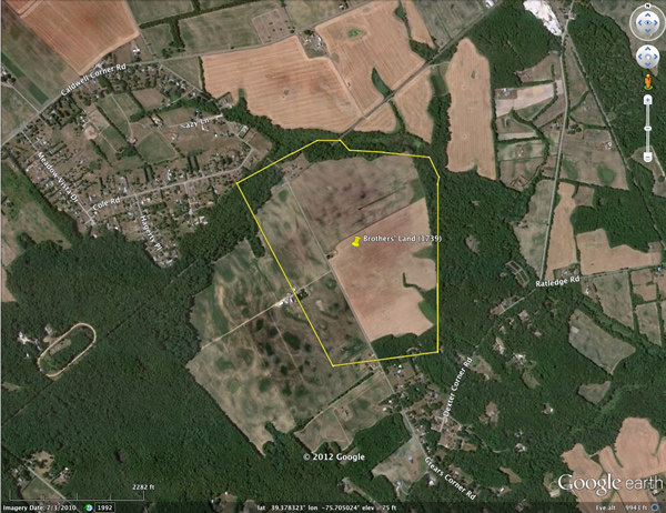
The parcel is about 25 miles south of New Castle. If you want to explore the location yourself, its approximate address in Google Maps is 812 Grears Corner Road, Townsend, DE. There is a "street view" of the area in Google Maps; you can enter this address and move up and down Grears Corner Road and pivot at any point for a 360-degree view. Much to our surprise (and relief), the land continues today in agricultural use. Below is a map showing the vicinity of the Gossett land; and below that, a detail showing the 1739/40 survey plat, in red, superimposed on a larger-scale map. (The green lines on the boundary map show the bounds of a present-day subdivision of the original parcel.)
Click here to open larger version in new window.
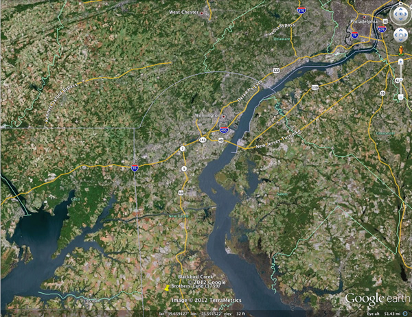
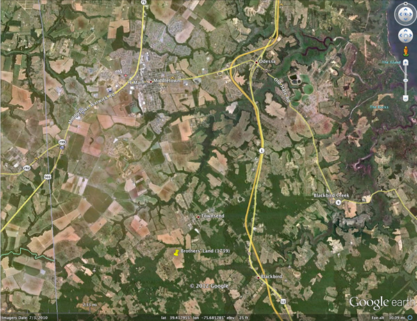
Satellite map images are shown below, at several scales, with the 1739/40 plat superimposed on the larger-scale ones. Click on any image to open a larger version in a new window.
